
Buckingham County: Rebuttals to an Inlet at Perkins’ Falls, Part V
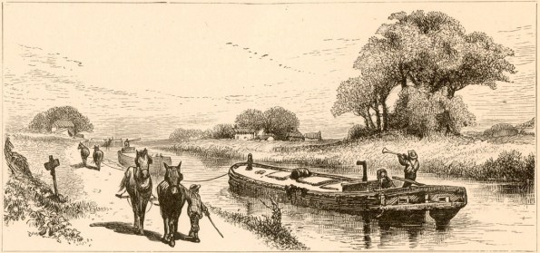
Canal Travel.
Need to catch up? Click here: Buckingham County: Rebuttals to an Inlet at Perkins’ Falls, Part I
Unfortunately for the citizens of central Buckingham County, the Directors of the James River and Kanawha Canal Company did not create access at any of the locations suggested. Left without a central bridge, farmers along Slate River had no choice but to haul their product by wagon to New Canton where they could cross the bridge to the canal. Or use the ferries at Warren, Scottsville or Bolling’s Landing.
Scottsville historian Richard Nicholas helped clarify the situation: “There were only three southside connection bridges on the entire canal: Duiguidsville (Bent Creek), Hardwickesville (Wingina) and New Canton, leaving most of the farmers on the south side of the river cut off from the canal with no easy access. The canal company might have almost doubled their traffic by expanding access to those on the south who wanted to ship on the canal.”
Other Slate River Ramblings followers wondered about the exact location of Perkins’ Falls. Richard Nicholas suggested, “If Perkins’ Falls was 12 miles north of Hocker’s Mill on the James River, it was approximately someplace between Howardsville and Warren.”
If Perkins’ Falls was near Hardwickesville, the proposal doesn’t seem to make sense when there was a bridge there.
Can a Slate River Ramblings reader help with the exact location of Perkins’ Falls?


Mike,
Thanks for your comment. In the late 18th century, Hardin Perkins owned land adjacent Randolph Jefferson’s Snowden at the Horseshoe Bend. He had a large family spread across northern Buckingham County. I don’t know exactly which Perkins the “falls” was named after.
Joanne
Perkins Falls is directly upriver from Hatton Ferry, no more than a hundred yards. “Falls” is really an exaggeration. It is an extended Class 1 rapid. I am interested in the origin of the name. Who was Perkins?
You may also find a map showing Perkins’ Ferry at the jamesriver.org website, select “Maps” then “James River Maps” then scroll down on the left side and click on “Map 3: Howardsville to Columbia”
Find Scottsville on that map and then look upstream (scroll down in the pdf) and you’ll see a blue box by Hattons’ Ferry that says Perkins Falls.
Thanks again, Randy. I’ll put this together for an upcoming post and credit you with solving the mystery! Joanne
Thanks, Randy. This is very helpful. Joanne
Perkins’ Falls (of James River) is located between Scottsville and Warren at these coordinates:
37°45’27.1″N 78°30’47.9″W (37.757538, -78.513296)
This is directly opposite from Hatton’s Ferry, on the James River a few miles upstream from Scottsville where Rt. 625 comes to the river. It is 2.25 river miles downstream from Warren.
Randy,
Many thanks for the location of Perkins’ Falls. Please tell us how you found the location.
Joanne
Surmising that it must be on James River, I searched “James River and Perkins Falls”. On of the hits is a book called “James River Guide: Insiders’ Paddling and Fishing Trips from Headwaters Down to Richmond” by Bruce Ingram. The description is at the end of section 4, the book has no page numbers.
It also appears annually in the brochure for “The James River Batteau Festival” under “section 6, Scottsville” where it states ” Four miles before reaching Scottsville is Perkins
Falls and Hatton Ferry. ” Here’s a link tot eh 2018 edition of that brochure.
Joanne, It stripped the links from me, use the search string “james river batteau festival brochure” and “James River Guide: Insiders’ Paddling and Fishing Trips from Headwaters Down to Richmond Perkins Falls” in an internet search.